

Visualize.
Collaborate.
Innovate.
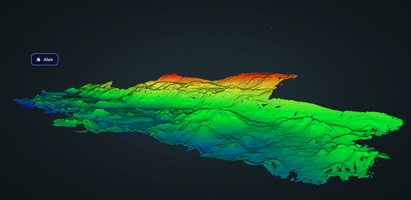
Access your bathymetric data online, share insights in real-time, and work seamlessly with your team, wherever you are.


Access your bathymetric data online, share insights in real-time, and work seamlessly with your team, wherever you are.
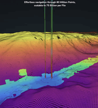

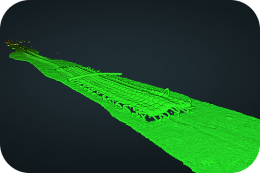
Inspect subsea pipelines with precision using interactive tools such as distance measurements, camera animations, and custom annotations.
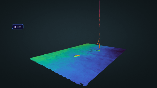
Explore detailed bathymetric datasets collected during the Titanic wreck site survey, with full water column data and 3D perspectives.
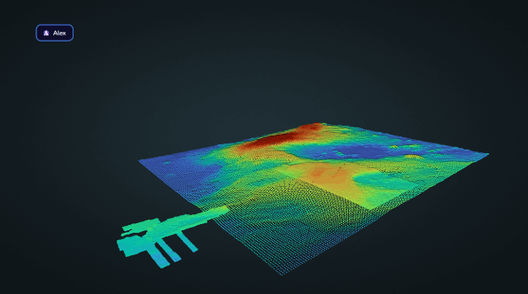
Browse and compare multiple datasets seamlessly. Optimized for up to 80 million points (scalable to 75 billion per file) with smooth navigation.
Display high-res georeferenced data using your preferred GIS tools. Compatible with multiple providers and precise file alignment.